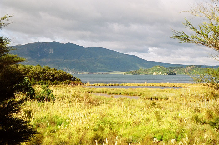
This entire valley was created in one night.
|
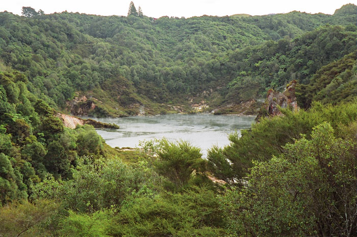
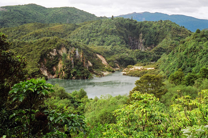
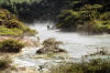
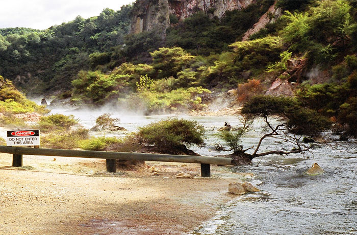
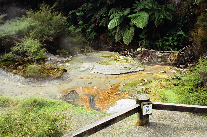
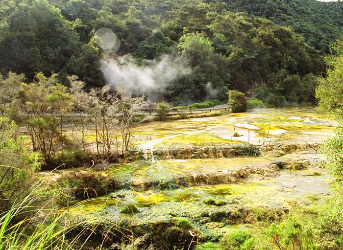
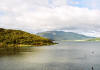
On June 10, 1886, a volcano known as Mount Tarawera erupted. The force of this eruption created a line of craters that now forms a valley. This valley is now known as Waimangu. An interesting point about this valley is that all of the vegetation and animal life has developed since 1886. When the volcano erupted, all plants and animal and birdlife was destroyed. In a lot of volcanic areas, the eruptions and other activity was thousands or millions of years ago. In this case, the volcanic activity, which created such a huge disruption, occurred just over a hundred years ago. So, the vegetation and the animal life still is just at the very beginnings of recovery. This picture is from the beginning of the walk looking east towards Mount Tarawera. That's Mount Tarawera in the background. The body of water visible in the center is a spring, roughly midway through the valley between the starting point of the walk and Lake Rotomahana, which is at the foot of the mountain.
From one of the information boards located where the above photo was taken:
The Mount Tarawera eruption on the 10th of June 1886 is the largest volcanic eruption to have occurred in New Zealand since European settlement. The outbreak began on Mount Tarawera about 2 a.m., after a series of gradually intensifying earthquakes. Over the next few hours, the eruptions spread northeast and southwest from the site of the initial outbreak and from about 3:30 a.m. a series of craters, the Tarawera Rift, extending nearly 16km along a line from here to the north eastern end of the mountain, were simultaneously in eruption. The climactic stage of the eruption was over by about 5:30 a.m. Seven of the craters formed in 1886 make up the Waimangu Volcanic Valley, and many others formed the basin now occupied by Lake Rotomahana.
While the immediate cause of the eruption was rising red -- hot molten basaltic magma, which reached the earth's surface along almost the whole length of the Tarawera Rift, a large part of the energy dissipated during the upheaval was contained in very hot water bodies that comprise the reservoir fluids that had fed the famous hot springs at Lake Rotomahana.
During the eruption, very hot material swept across the country, a completely extinguishing all life in this area, and covering the landscape with a thick blanket of ejecta.
The hot springs, geysers, and other surface geothermal features of the Waimangu hydrothermal system have developed in and around the craters formed during the 1886 eruption. But beneath the surface, this system extends from here towards Mount Tarawera, and also southwards towards rainbow Mountain, and in all probability that exceeds many tens of square kilometers in area.
|

|

|
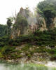
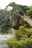
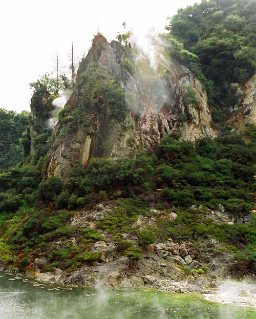
These are the Cathedral Rocks. This formation was originally named Gibraltar Rock. However, the 1917 eruption radically changed its shape, to the point where Cathedral Rocks was a more appropriate name. The lava forming these rocks about 60,000 years old, much much older than the nearby Mount Tarawera. The rocks also have vents that release carbon dioxide and hydrogen sulfide gas.
|
|
|
|

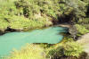
From the Waimangu Wanderer's Guide:
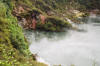
This steaming and usually pale blue jewel of Waimangu lies in a crater blown from the side of Mount Haszard in the 1886 eruption. Lake level follows complicated rhythmic cycles with shallow recessions occurring every few days and/or deeper recessions at longer intervals. The top of the white silica deposit marks overflow level. Its most common behavior is to overflow for two or three days, recede about 8m during some 15 days, partly refill over three to four weeks, oscillate for a while, and then start to overflow again. The lake is roughly trumpet shaped. Its depth when full is 30 m. Overflow temperatures can reach 80°C (176°F). The the water is highly acidic with a pH sometimes of 2.1. Inferno Crater Lake is the largest geyser-like feature in the world, although the geyser cannot be seen since it plays at the bottom of the lake. It has a unique relationship with Frying Pan lake. When Inferno crater lake is overflowing there's a decrease in the discharge for Frying Pan Lake and when Inferno Crater Lake is receding the discharge from frying pan lake is greater than usual.
|


|
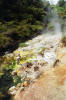
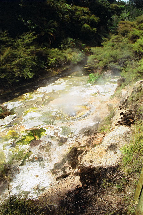
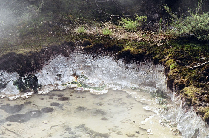
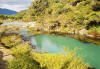
From the visitor's guide:
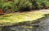
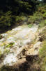
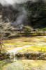
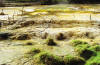
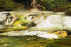
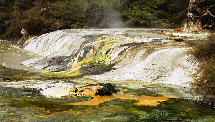
These buttresses and the sinter flat beyond them are composed of similar material to the pink and white terraces that were destroyed in 1886 Mount Tarawera eruption. Terraces are formed by silica depositing out of solution building in successive layers over time. The silica-rich water is supplied from large hot spring in Iodine Pool so named for the brown coloring on its rocks and banks. The water leaves Iodine Pool at an average of 97°C to flow across the Marble Terrace in shallow waves. Marble Terrace and its buttresses are growing over a stream terrace formed when Lake Rotomahana (at the far end of the walk, at the base of Mount Tarawera) was at a higher level in the 1970s and the stream frequently flooded this area. The large hot spring which flows into Iodine Pool can be seen at the apex of the terrace across the road.
|

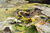
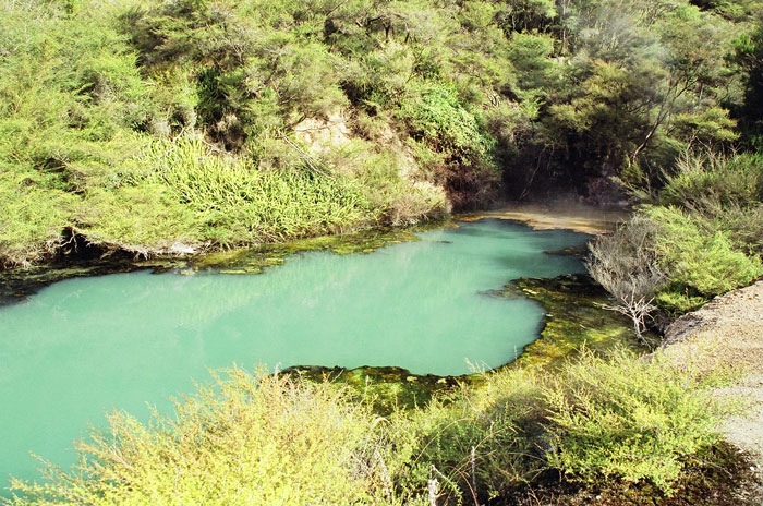
From the Visitor's guide:
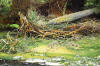
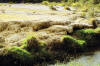
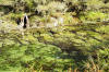
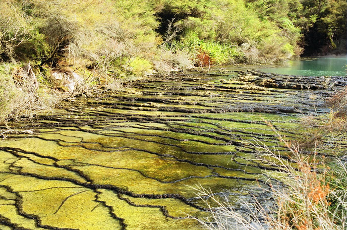
Warburg Terrace is a set of multicolored fast-growing silica platforms forming over an old stream terrace in a similar way to Marble Terrace. In addition, algae in recent years have assisted in the silica deposition to build a dam across the warm stream draining through the crater. A further series of ripple terraces are now forming at right angles to the original ones.

|

|
|
|
|
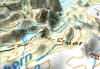
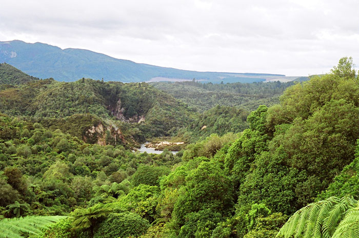
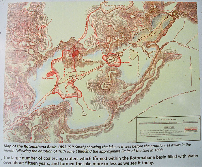
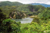
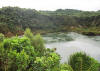
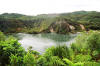
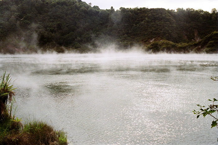
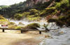
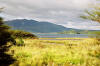
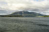
Several views of the volcano and the lake which was greatly expanded by the 1886 eruption, per the map above.
|